ORC: Four Decades of Landscape Expertise
At Open Range Consulting, we bring over 40 years of expertise in managing and assessing landscapes for their biological richness. Our journey over the past eighteen years has been marked by the development of innovative tools and metrics, uniquely combining remote sensing with ground sampling. This fusion has birthed our acclaimed Earth Sense Technology (EST) suite.
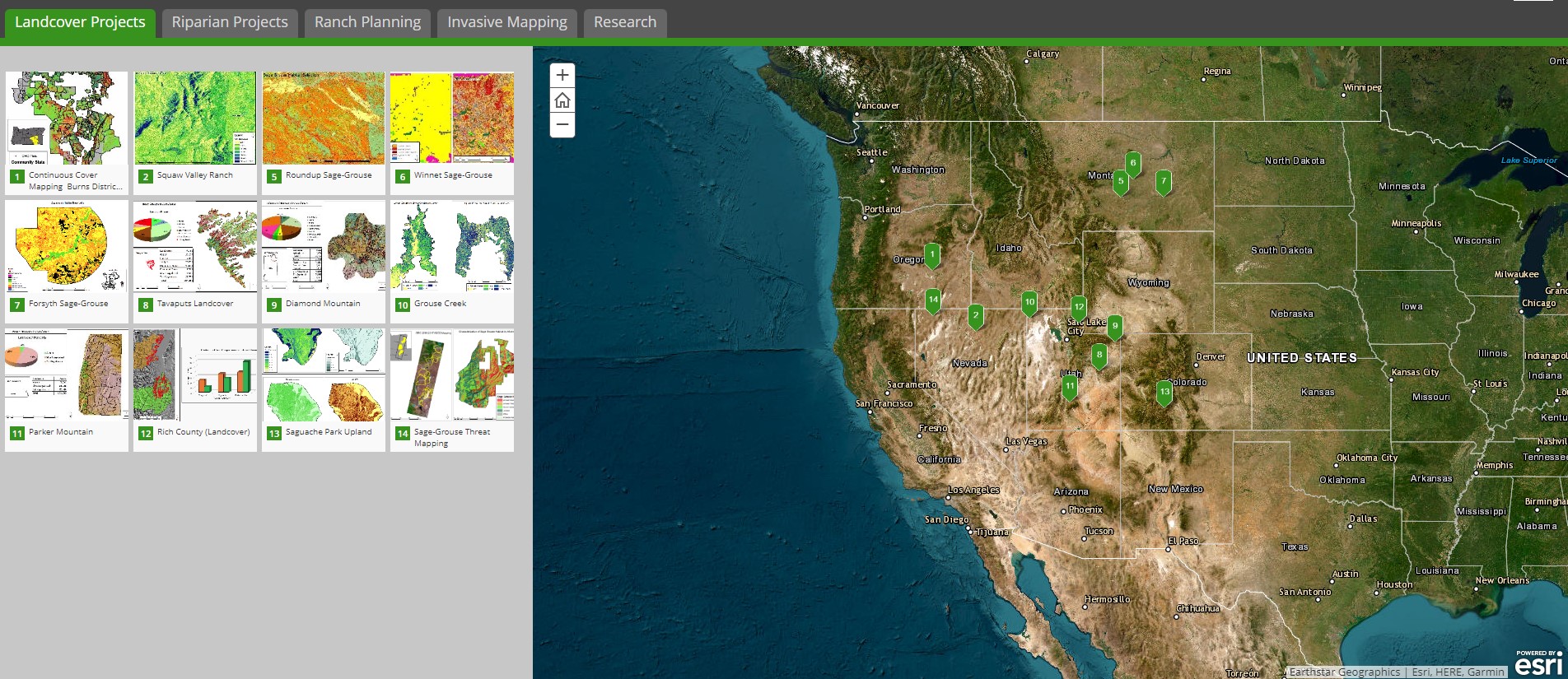
A Legacy of Diverse and Impactful Projects:
Our portfolio showcases an impressive range of sagebrush assessment projects, covering over 40 million acres across Arizona, California, Colorado, Idaho, Nebraska, Nevada, Montana, New Mexico, Oregon, Utah, Washington, and Wyoming . This includes extensive work in sage grouse priority habitats, spanning 16 million acres, and detailed mapping of 1.2 million acres for invasive weed control and prediction.
We've also made significant strides in riparian area assessments, surveying 2,197 miles in 7 states. This work includes habitat studies for species like the Lahontan Cutthroat Trout and New Mexico Meadow Jumping Mouse. Additionally, our team has mapped conifer encroachment on 1.5 million acres and conducted wild horse assessments and carrying capacity studies on 2.5 million acres.
Innovative Tools for Effective Management:
Beyond assessments, we've developed practical tools for ranch planning. The “Piosphere Tool” and our “Residual Dry Matter” mapping system stand as testaments to our commitment to practical, actionable solutions.
Rigorous Validation and Recognition:
Our validation process is thorough, involving thousands of ground samples and peer-reviewed publications. This rigorous approach has earned us the trust of numerous public and private land managers. Both quantitative data and qualitative feedback affirm the reliability and utility of our monitoring results, making them indispensable for land managers.