

OPEN RANGE CONSULTING featuring Earth Sense Technology
Providing practical and adaptable tools to rangeland managers, giving them the ability to effect real change and improvements on rangelands.
Four Decades of Landscape Expertise:
Open Range Consulting brings more than 40 years of experience managing and assessing landscapes for biological condition. Over the past 25 years, we’ve developed tools and metrics that combine remote sensing with on-the-ground sampling. That work led to the Earth Sense Technology (EST) suite. ORC's Earth Sense Technology Tools and on the ground validation broaden the rangeland perspective from small expensive samples to robust landscape assessments that offer valid and useful tools which can be used to effect real change and improvements.
Healthy Rangelands can change the world with their vast benefits, including crucial wildlife habitat, biodiversity, provide watersheds, carbon sequestration, grazing and forage, renewable and mineral resources, and recreational activities. Range management is challenging because of the lack of tools to appropriately and accurately map the landscape. Managers need spatially rich information to make informed decisions, to make necessary adjustments, and to monitor successes or shortfalls over time. Without these tools it is difficult to measure progress.
Outlined below are examples of some of those tools and how they have helped to provide real change and progress for those using them. Many of these maps are only partial an do not cover the entire expanse of a given project area, they are only used as examples.
Validation
ORC's validation process is built on thousands of ground samples and peer-reviewed research. We check our results against what’s actually on the ground, not just against models. This has provided confidence for public and private land managers who can rely on the data, and why the results hold up in real management decisions. These extensive quantifiable verification methods including peer-reviewed articles and patenting, as well as qualitative review by many public and private land managers that have evaluated and compared EST to their experiences. Both the quantitative and qualitative validation suggests that the monitoring results are highly reliable and useful to managers.

An example of quantifiable verification methods is comparing sagebrush cover estimated by remote sensing to independent on the ground line point intercept locations. The figure on the left shows that ORC's sagebrush cover is highly correlated. The figure on the right shows the national level 30 meter sagebrush cover data is much less correlated.
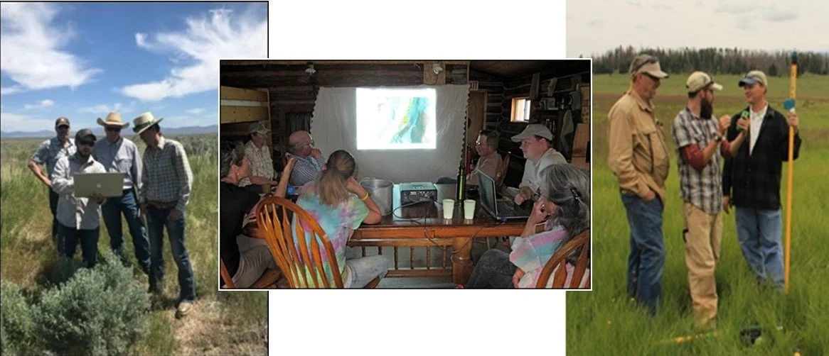
More important than statistical validation is on the ground validation. Every ORC project is validated by the rancher, government specialist or anybody else who is intimately acquainted with the landscape. We are not satisfied with our products until the on the ground person is. These projects sum to 60 million acres and 10,000 miles of stream.